

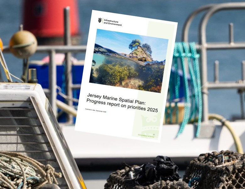
Work to consider “compensatory measures” for fishermen whose livelihoods have been impacted by the island’s network of Marine Protected Areas – which was expanded earlier this year – remains “in progress”, according to a new government report.
The Marine Spatial Plan Annual Progress Report 2025, published yesterday, provides a breakdown of the objectives being achieved being as part of a strategy for protecting and sustainably managing Jersey’s marine environment.
Agreed by the States Assembly more than a year ago, the Marine Spatial Plan contains a number of priorities, of which 57 are now active.
This represents around 63% of the actions within the plan.
Key achievements so far have included the Marine Protected Area network expansion that took effect last month, with 21.7% of Jersey’s territorial waters now protected from dredging and trawling.
The figure had previously stood at 6.5%.
The clearest quantified costs fall on a small number of mobile-gear vessels operating in seabed protection sites
Jersey Marine Spatial Plan economic impact assessment
One of the priorities relating to the network, listed as “in progress” by the report, states that: “Compensatory measures and/or alternatives will be considered for fishers within the mobile fishing sector affected by the MPAs, where considered appropriate, having regard to economic impact assessments.”
It noted that a Jersey Marine Spatial Plan Economic Impact Assessment document was published at the end of last year.
That assessment concluded that “the clearest quantified costs fall on a small number of mobile-gear vessels operating in seabed protection sites”.
It stated that, at the time, “monetised exposure from scallop dredging within MPAs is estimated at £806,179 per year for Jersey dredgers and £239,164 per year for French dredgers, with Jersey South East MPA the main Jersey hotspot and Minquiers the main French hotspot”.
Other areas noted by the MSP progress report include the completion of an inshore netting review and implementation of revised technical and spatial regulations, as well as the publication of management plans for Jersey’s four designated Ramsar sites.
Additionally, coastal resilience and climate adaptation work has progressed through the Havre des Pas ‘Advance the Line’ scheme, intended to help prepare the island’s coastline for the impacts of climate change and sea-level rise.
